The Search for Mount Brown: 1892 & 1893
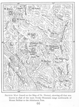
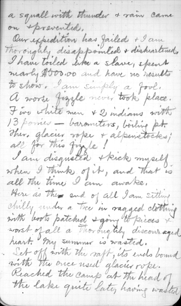
Early maps of Mount Hooker and Mount Brown showed the two mountains as the highest points in Canada. (Botanist David Douglas had crossed the Athabasca Pass in 1827 and charted the two mountains with elevations of 15,000 and 16,000 feet. Dr. James Hector confirmed the heights when he climbed Mount Brown, on the Palliser Expedition of 1857 – 59.) Coleman saw the far off mountains as a challenge. In 1888 he had set out for Mount Brown but had to turn back. He was determined to try again.
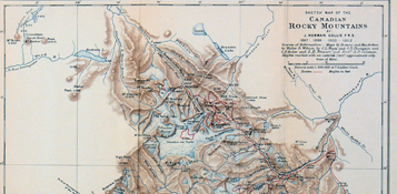
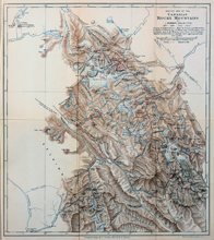
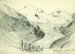
In the summers of 1892 and 1893 Coleman organised two expeditions to explore the region in the Rockies between the headwaters of the Saskatchewan and the Athabasca Rivers.
The region lies between two fairly well known passes, the Howse pass, leading from the Saskatchewan to the Columbia, and the Athabasca pass, following up Whirlpool river from its junction with the Athabasca and following down Wood river, a tributary of the Columbia.
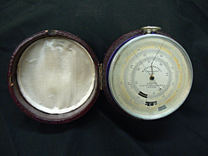
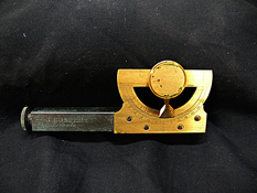
The object of the expedition was mainly topographical, to explore an interesting unexplored region and especially to determine the height of Mt. Brown, reputed the highest mountain in Canada.
— A.P. Coleman, "Notes on the Geology of the Rocky Mountains between the Saskatchewan and the Athabasca."
The American Geologist. 14 (August 1894): 83
